
JavaScript Frameworks for the Geospatial Web - Change is Here, Part One
/
Author’s Note: A Technical Architect with GeoDecisions, Naveed Sami designs and develops web-based, desktop, and mobile GIS applications and enterprise applications. With his finger on the pulse of the latest geospatial trends and technologies, Naveed will regularly discuss a variety of technical topics on our website.
The Wild, Wild West of JavaScript
“In chaos, there is fertility.” ― Anaïs Nin
Within the open source development community centered on GitHub, JavaScript is the language for developing enterprise, interactive web applications. RedMonk’s ranking system places it at number one in its latest rankings of programming languages.
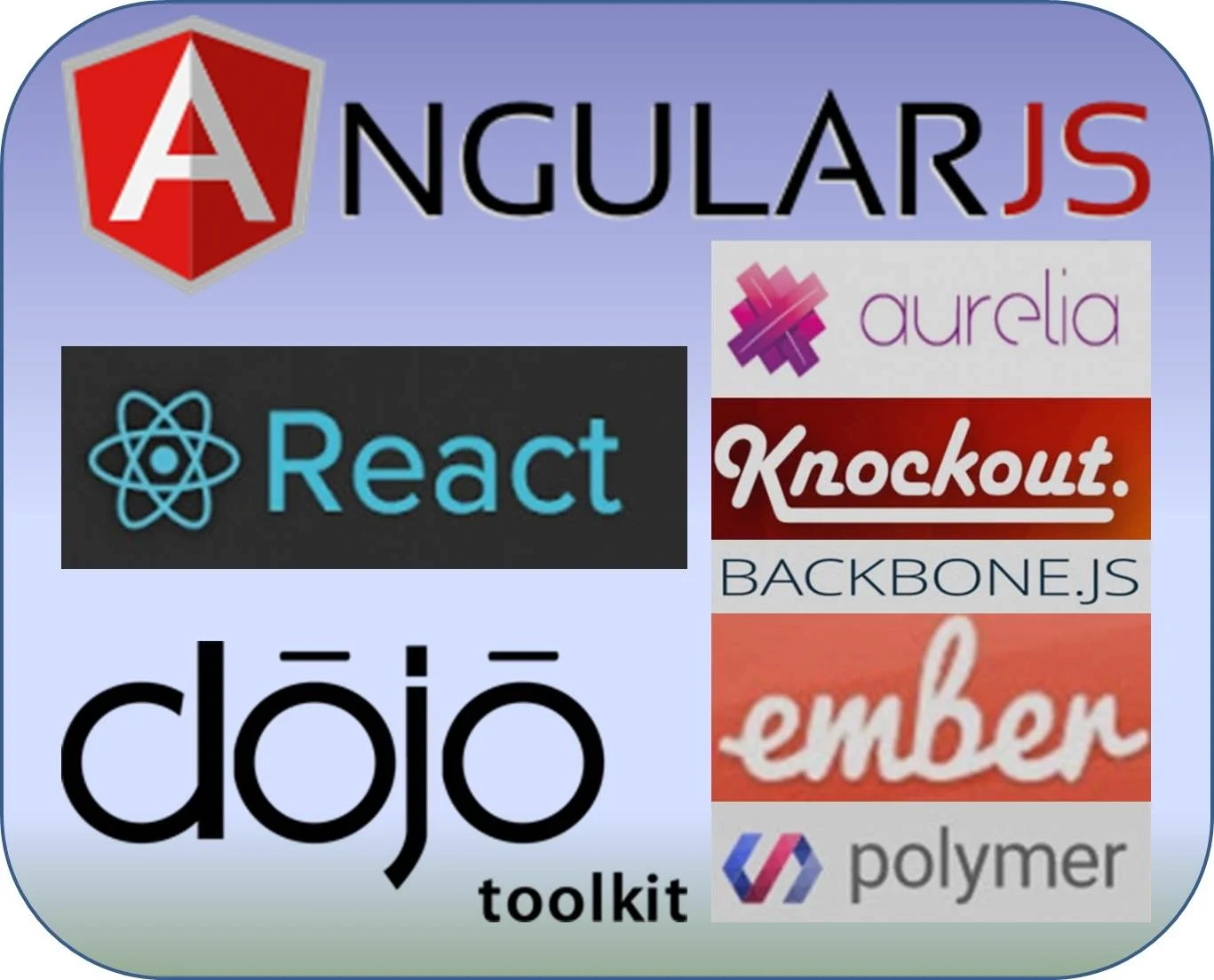
Most developers have graduated from JavaScript with jQuery, and various utility libraries to larger toolkits and frameworks, to meet greater expectations of user interface interactivity and improved scalability, reusability, and maintainability of applications. Dojo Toolkit is one of the earliest, most widely adopted toolkits with a deep feature set. Newer frameworks, such as AngularJS, provide more structure such as enforcing the Model View Controller (MVC) design paradigm. There are many frameworks! For instance, ToDoMVC has built a simple “to-do” application with each framework, allowing us to carryout side by side comparisons. They now have 64 frameworks available for evaluation, and have written a wonderful high level overview and introduction to JavaScript Frameworks which is available here.
Stay tuned for more from Naveed!


