
Mobile Management, Collector for ArcGIS, Part Two
/
Photo taken by Bob Wagner.
In my ‘Part One’ blog, we discussed an overview of the steps our team took when migrating from ArcPad to Esri® Collector for ArcGIS. Once migration was complete, there were still decisions that had to be made on how we would manage our data, how best to ensure accuracy and completeness of what we gathered, and how to tackle implementing new features.
Managing Data
Reducing time spent in the field has always been one of our top priorities, while making sure our post processing is efficient and accurate. We would not want any gains in reduced field time be offset by extra work in the office. Esri does supply a couple of tools to facilitate this process, such as Esri Attribute Assistant and Data Reviewer, which help create easy repeatable processes to better manage our collected data.
Rarely does our data spend its full life cycle in ArcGIS Online; therefore, we typically download our collected data to work in ArcMap or ArcGIS Pro. This can occasionally become a problematic process, especially when larger data sets have attachments enabled and when subtypes are being used for customized field domains. To help manage these concerns, we also developed multiple in-house Python scripts that can be reused to automate a lot of the processes related to attachment management and data migration.
Ensuring Accuracy and Completeness
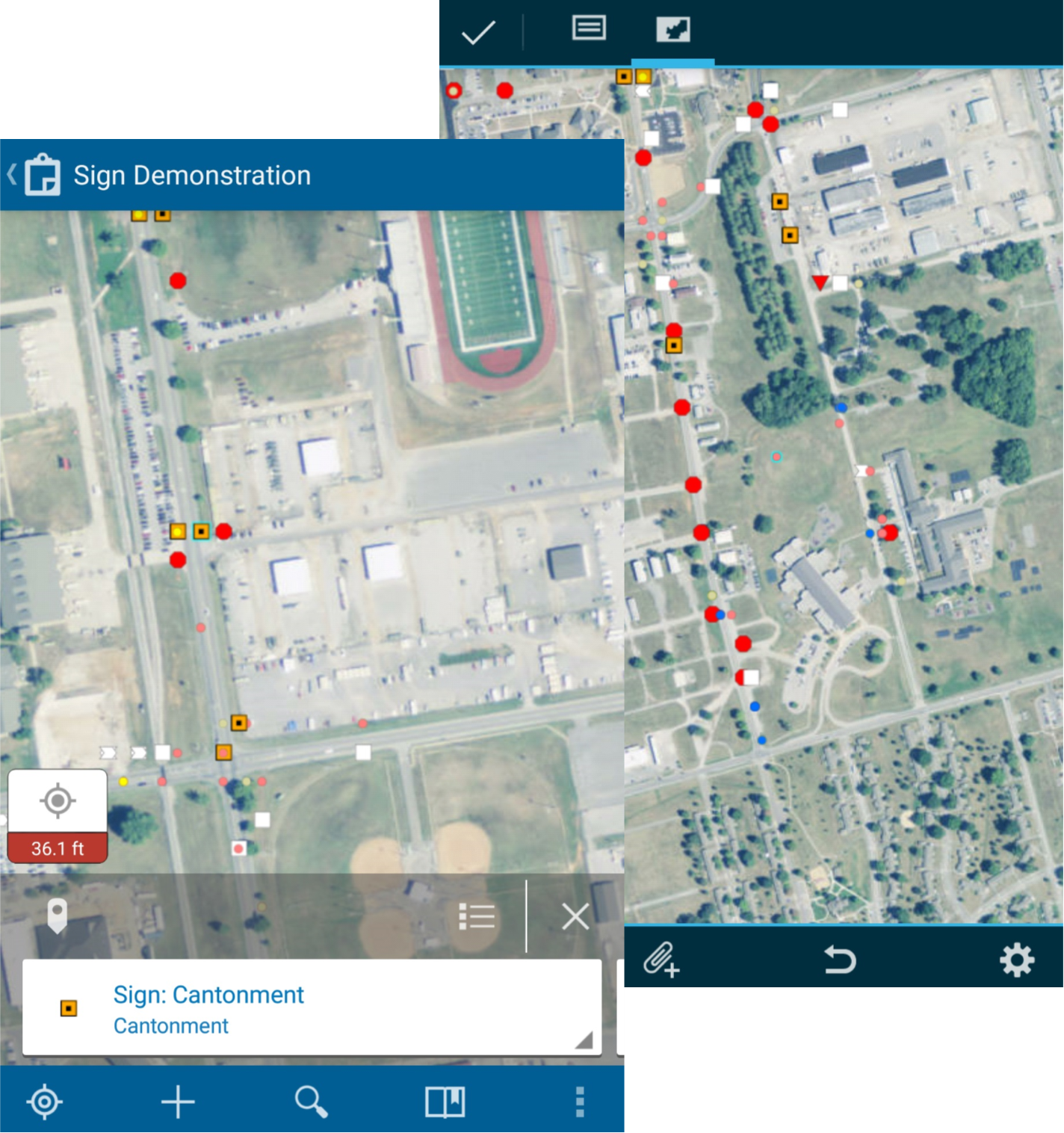
Screen shots of Esri Collector from mobile device.
Since having obtained an efficient way to collect and manage our data, the last component to consider for migration was to ensure our final product was accurate and complete. Once our field staff has collected data, which resides in ArcGIS Online, we are able to begin collaborating and create our deliverable. For smaller data collections, we can analyze and work with data directly in ArcGIS Online; but, if necessary, migrating between ArcGIS Online and Desktop can be streamlined with our data management tools.
While visual checks are necessary to confirm that our field team did not miss an area, or to verify any outliers, much of the collected data follows a standardized procedure. Since Collector for ArcGIS does not have the same intelligent forms as Survey123, we created a series of tools that check multiple field parameters to ensure there are no unexpected results including incorrect data or empty fields.
Leveraging New Features
Although Collector for ArcGIS has been in use within our team for some time, it continuously receives updates and new features - this has proved to be both a boon and a burden. As new features are rolled out, we always want to leverage new features to improve our workflow; however, this can result in reworking the form design that was already established. While having a well-established and reusable process reduces time to prepare, deploy, and post process data; deciding when to deploy new features and change this process is necessary.
For example, Collector for ArcGIS provides an option for relationship recognition. This new feature would have allowed us to keep associated features together when necessary, but did not work with the existing feature to copy previously collected data. The relationship feature was then discussed with our field team, because although this one option would make post processing easier, it would increase the amount of time in the field. Ultimately, we decided to stay with the copy feature, and not deploy relationship recognition. We were able to devise a way to use the Attribute Assistant tool, which would not incur any impact on our post processing time.
Stay tuned for ‘Part Three’ regarding Esri Survey 123…


