
Esri Water Conference
/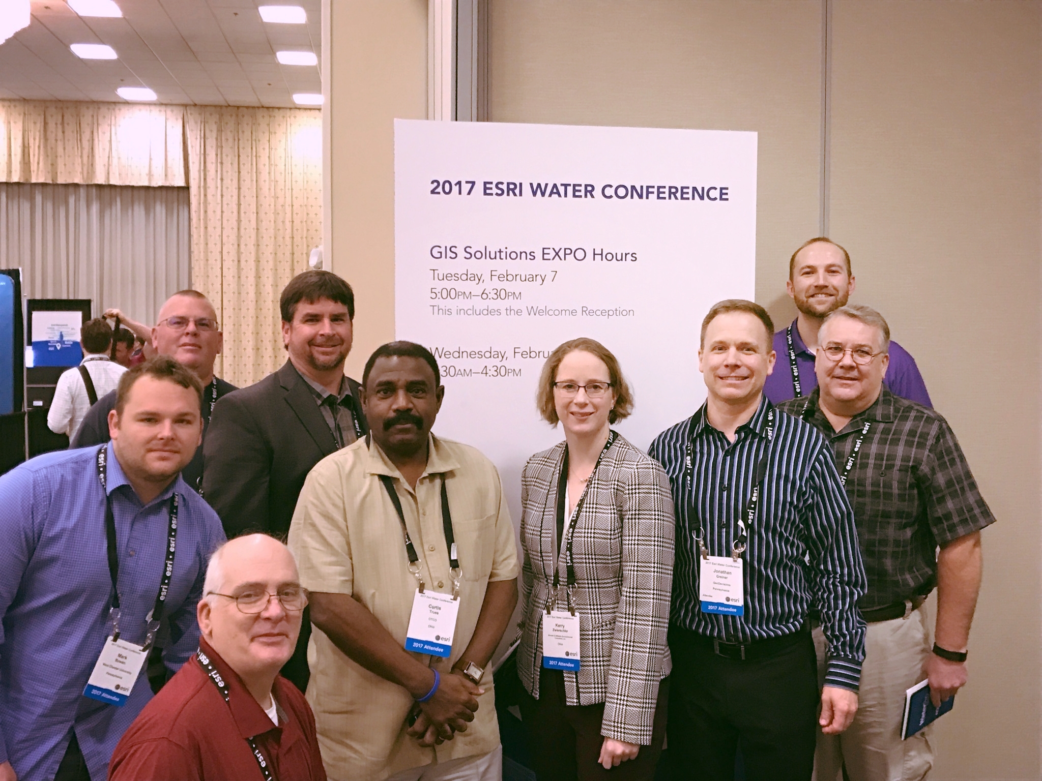
Pictured: Jonathan Greiner, Project Manager/ GeoDecisions Notify Lead (third from right) at the 2017 Esri Water Conference with conference attendees.
More than 320 water professional leaders gathered in Orlando, Florida, for the third annual Esri® Water Conference. The event presented an excellent opportunity for sharing of ideas and strategies to better management of water systems. Key agenda topics included optimization of field operations, efficient data/asset collection and inventory, and planning related to climate change as highlighted below. In the plenary session, Jack Dangermond (Esri President) addressed goals regarding improving efficiencies, accomplishing projects, and facilitating science-based decision-making. Jack wanted the conference to inspire water professional leaders, and to provide greater collaboration opportunities.
Mobile in Masses
The mobile workforce was a significant conference theme, with many sessions highlighting Esri solutions to meet specific mobile data collection and retrieval needs. Specifically, various sessions focused on Esri applications such as Workforce for ArcGIS, Navigator for ArcGIS, Collector, Survey 123 for ArcGIS, and the Operations Dashboard for ArcGIS. Emphasis was placed on the common information platform that is now available using ArcGIS Online, which is helping to eliminate the “silos” of information created in the past with various sub-consultants working independently and submitting their data at the end of each project. With ArcGIS Online, all team members can be provided with access to data related to their specific area of interest for a project, facilitating real-time data sharing and data updates for better decision-making.
Climate Impact
Another major conference theme focused on the effects surrounding climate change. These effects range from severe flooding to severe drought, which both come with their own set of challenges. For example, severe flooding has facilitated the need for additional cloudburst planning in New York City. Geospatial tools are being used to conduct terrain-based hydrologic studies, in addition to mapping risks and estimating flood damages. This data is leading to better flood mitigation strategies, which are being implemented through coordination with urban planning and development representatives. On the other end of the spectrum, California Water Service (Cal Water) in Southern California has been under extensive drought conditions for an extended time period. Cal Water is analyzing daily service area maps to identify measurable rainfall, and to subsequently enforce mandates prohibiting outdoor water use within 48 hours of these events.
Overall, the Esri Water Conference was worthwhile for all participants. I anticipate this conference will continue to drive the decision-making process for many forward-thinking water providers now and in the future.
By: Jonathan Greiner, Project Manager / GeoDecisions Notify Lead


