
Eric Abrams: a Transportation GIS Guru
/GeoInnovator
Eric Abrams, GeoDecisions senior project manager, is the latest GeoInnovator. Eric digs deeply into any subject he is passionate about. He reads and networks with subject matter experts, trying to learn more and share more constantly, because Eric is not a guy who wants to keep this information to himself. He could have had a profession as a spiritual leader for the number of converts he gets to his cause. In this case, his cause is to spread the knowledge of geographic information system (GIS) and how it can solve problems.
The following roles and projects are some of the areas where Eric's proselytizing really shined.
Managing Iowa Department of Transportation GIS
Eric spent a lot of time in the halls of the Iowa Department of Transportation (DOT). As the GIS Administrator, he provided the direction, vision, coordination, implementation, and management of the GIS ecosystem. He gained a deep knowledge of Esri's technology, Safe Software FME, Oracle, and VertiGIS GeoCortex as he pursued a path of modernization and data-driven solutions. Eric created industry-leading vehicle location and analysis tools and project scheduling and prioritization solutions. As a subject matter expert in enterprise GIS architecture, Eric was responsible for and implemented the DOT's enterprise GIS architecture and content management system. Eric was responsible for updating the predictive models for archeology, traffic, project delivery, construction, asset management, and crash data to improve planning, improve budgeting, and anticipate trends with the content management system.
Plowing a Path to Another Solution
Winter is just around the corner. The groundbreaking Iowa DOT “Track a Plow” solution that Eric spearheaded was the first of its kind. As the GIS Manager for the DOT, Eric was responsible for making this solution a reality. Track a Plow has both an internal and external facing side. It does much more than share the location and direction of plows. Thanks to the sensors added to trucks, Track a Plow also provides information on road conditions, road closures, and whether trucks are applying liquid or solid materials to counter snow and ice. The sensors allow for remote access to information regarding the vehicle's status, making it possible for mechanics to diagnose problems while the plow is still in the field. His team also added storm-related cost data, giving leadership the ability to have the financial information available to make the most responsible decisions for these life-saving services when budget time rolls around. One of the most critical aspects of this system is that Eric created enterprise databases so that the data was not tied to a specific application, increasing data availability across the organization.
Because the application is cloud-based and the data is available near real-time, all this data is available both on desktop and via mobile app, which is essential for the public side of this solution. It was a great public service. Not only was the DOT using this solution, but schools and companies were using it to determine opening and closures, and public citizens were able to identify the safest routes.
Breaking Down Data Barrier Walls
Recently, Eric has promoted to all who will listen his GIS Data Fabric™ (Fabric) concept. The Fabric is a roadmap to help organizations move from data fragmentation to data visualization. GIS Data Fabric is a set of data services that provide predictable, reliable, and authoritative capabilities across a choice of endpoints, spanning on-premise and cloud environments to accelerate digital transformation. It uses open, accessible, and easy-to-use services to exchange data.
So many organizations are facing the same problem. After years of creating applications to meet specific needs, they are now faced with multiple unrelated systems with isolated databases. Not only is it costly to maintain these siloed databases and systems, but the organization is also missing critical paradigm-altering insights that shared data could bring to the table.
Eric is driven to help organizations break down these barriers, promoting application-agnostic data unfettered by silos. However, the idea of changing the architecture entirely is too daunting and costly for most public entities. That is where the Fabric comes into play. The process of creating your Fabric starts with an assessment called Slimfabric, a series of questions to help organizations better understand their GIS maturity and how the Fabric aligns with their strengths and weaknesses. Once you have targeted your weakness, Eric works with you to plan to connect your data and systems under the GIS Data Fabric model. The basic components of the Fabric model include the data sources where data is collected, staging areas where data is validated, a vault where the authoritative data is kept and accessed via the services, and the visualization and reporting where most will interact with the Fabric.
Learning about Eric Abrams
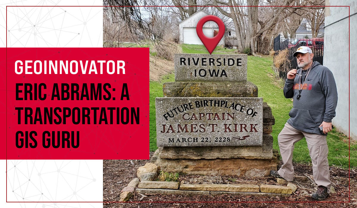
Eric knows what he likes and does not change course. He has spent his entire life in a box, a latitude-longitude box that is, in the 42N 93W block in Iowa. He went to school in Iowa and spent 30 years working for the Iowa Department of Transportation (Iowa DOT). The man loves Iowa.
One could say Eric is a workaholic. He cannot stop working. He and his wife own a business selling clothing where he deals with everything from finances to being the janitor for the brick-and-mortar store. No task is too small for him. He has a hard time taking a vacation because his mind is always trying to figure out ways to do things better for the company.
Eric Abrams works hard, is recognized as a leader in the industry, and has a passion for sharing his knowledge. For that reason, Eric Abrams is a GeoDecisions GeoInnovator.
###
GeoInnovator is a blog series where you will find our amazing staff highlighted throughout the year. Everyone is important, but the employee in this spotlight exhibits a contagious


