
Esri DevSummit: Plenary Powerhouse (Day One)
/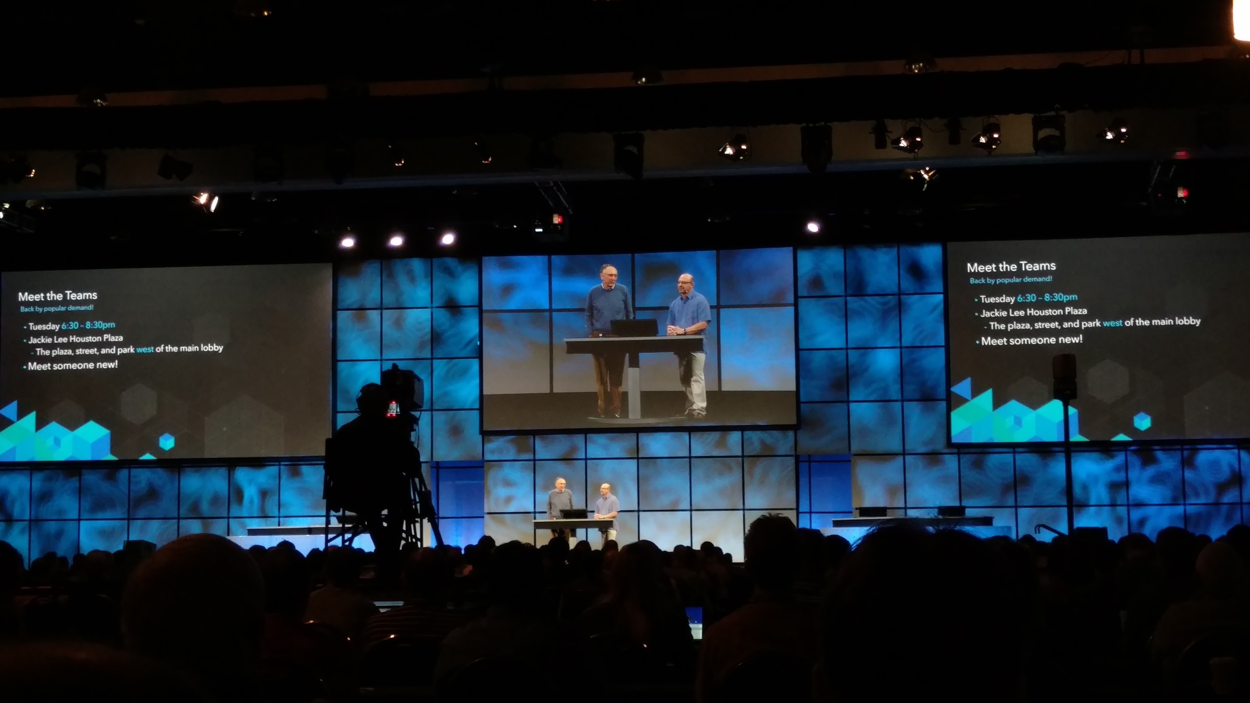
Plenary session "meet the teams" introduction by Jack
The Esri® Developer Summit (DevSummit) began with the plenary session in the morning, where I witnessed new and upcoming GIS technology innovations under development at Esri. Significant improvements to existing tools and frameworks include new APIs and SDKs to develop robust and responsive map applications.
The plenary started with a summary of what ArcGIS platform currently offers, how ArcGIS Online and ArcGIS Server apps are helping data collection in the field, and how GIS analysis offers GIS solutions to the public. The session highlighted ArcGIS updates since March, which includes improvements to vector tile basemaps, smart mapping, configuring 3-D apps in ArcGIS and multilayer base maps. Steps to create your own vector tile maps on ArcGIS Pro were showcased, which involved creating a tile package and publishing out base maps to ArcGIS Online. Smart mapping web map specs sample documents also will be added to GitHub in a few weeks.
Areas of Emphasis
Esri showcased the new Insights for ArcGIS application that provides map based and statistical data analytics. Insights not only helps with rapid data analysis, but tracks all steps taken during the analysis, allowing it to be recreated by other users step by step.
Working with big data by using a spatiotemporal big data store was another point of emphasis. A real-world use case illustrated tracing fraudulent money laundering using an ArcGIS online web application with the big data store.
GeoEvent Extension was then discussed, critical for capturing and analyzing streams of incoming real time data.
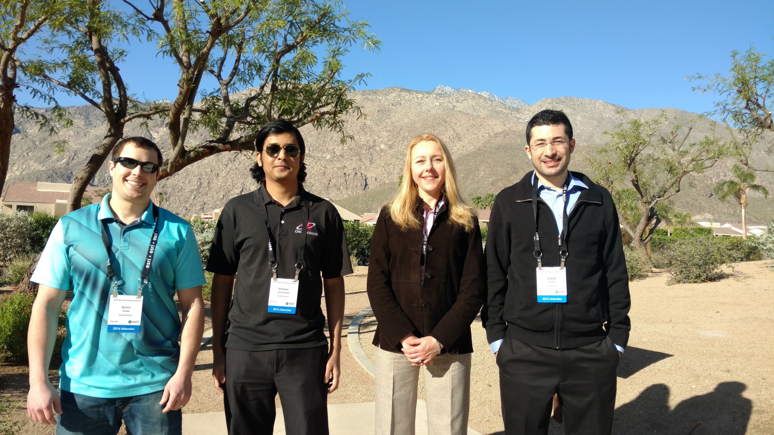
GeoDecisions team from left to right: Quinn Huber, Shankar Lakshmanan, Nаtаlliа Rоbinsоn, and Osama As'ad
Unfolding Solutions
The new python API also is coming to ArcGIS. This was demonstrated during the plenary using a dynamic Python notebook environment. The primary focus of the conference catered to ArcGIS Javascript API v4.0, supporting 2-D and 3-D map views. While Esri plans to support v3.x Javascript API until 2018, ArcGIS JavaScript API v4.0 comes with responsive UI design and responsive pop-ups to present a uniform application and map style.
For The Developer In All of Us
Day One also included presentations about ArcGIS Runtime SDK Quartz developing for cross-platform applications that use Xamarin SDK, AppStudio for ArcGIS, and Esri’s award-winning application Survey 123 for ArcGIS. The latter includes a fully customizable source code to be released for free.
I attended sessions involving Real-time GIS GeoEvent Extension, geodatabase programming, ArcGIS API 3-D and the Esri Leaflet project. Day One was full of information-packed presentations and demonstrations for a wonderful learning experience. I look forward to sharing this knowledge with my fellow co-workers.
Stay tuned for updates about the Esri DevSummit experience!


