
Walk the “Pit” and Do Less of the Sit, 2017 Esri DevSummit
/As I fly home from my latest trek to the Esri® DevSummit in beautiful Palm Springs, CA, I have the time to reflect on the sessions I watched and the conversations I had.
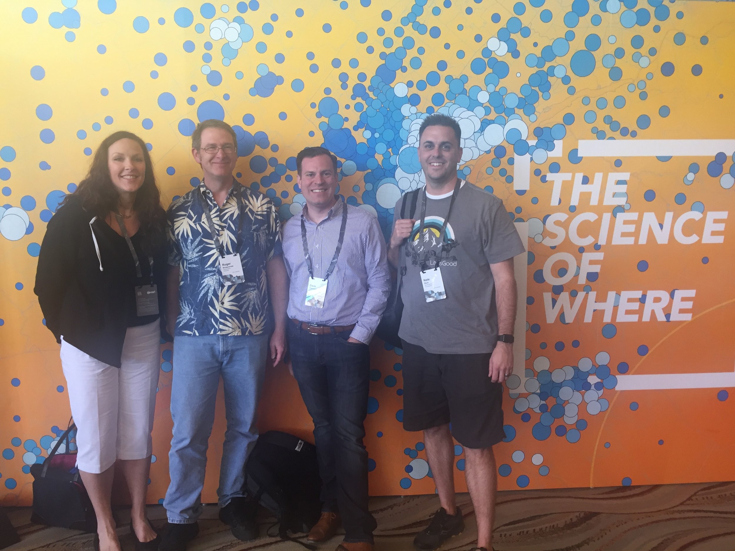
This year’s DevSummit had a different perspective for me. This was the first time since getting married, 10 years ago, that my wife and I could travel together without kids - thanks Nunnie and Puppie!! In doing so, my wife got to see a bit of what Palm Springs has to offer, and hear about the conference agenda and topics from myself and fellow Tech Directors at GeoDecisions. This was a true treat for us. Second, after two years since my last visit to the DevSummit, I was able to jumpstart some major topics of conversations with the various product owners and developers regarding tools we use every day as we continue to push the limits at GeoDecisions.
We have created and deployed some cutting edge applications in my focus area, State and Local Government, and am now able to initiate the necessary conversations, which was a blast to have with the guys and gals at Esri. Third, 2017 is an exciting year for new Esri products and apps that will be game-changers within both my industry and in the world of GIS. There are so many things I picked up this year, and ideas to help provide thought leadership to the folks I work with every day.
I could go on and on about all the topics I learned about, and ideas pouring in, but I won’t. I know… thank goodness, right?! But, there are three key points from this week’s DevSummit that I want to share:
1. Dashboards-A-Plenty. Now I know dashboards have been the rave in the past 5-10 years for managers to have a single view of what’s going on via situational aware and to see how have projects progress over time using analysis. In the GIS world, maps are great at doing this and telling a story, but now with the introduction of Insights and the migration of Operations Dashboard from desktop to web, GIS and analysis driven dashboards are easier than ever. Being able to integrate various parts of the ArcGIS Platform with direct data source connections and inputs; thus, creating a decision support and management set of views is a game-changer in the government space. Expensive, 6 to 12 month projects to build fully custom dashboards with difficult integration points and techniques are a thing of the past, thankfully. Having live stats, charts, graphs, and maps that all intersect with one another alongside robust analytic processes can be configured using Analysts and GIS personnel to provide a look at organizations within days, versus months, of custom work. But, if you have a taste for the custom life and want to extend and add on, that is coming… don’t worry!
2. Pre-Planning is Key. A point of advice on this one… if you plan to attend the DevSummit in 2018, start planning ahead. This truly goes for any technical conference but for this one especially. Do these three things to save you time, and make the information you gather that much better.
a. Do Your Homework. If there are certain technologies you want to discuss at the DevSummit with the folks who know it best, come prepared to dive in deeper and not just skim the surface of the pool. It is easy to walk up to the product managers and developers, and ask for basic demos, or, “What does this do?” in the Exhibit Hall (aka: The Pit – I know, catchy. I made that one up myself ;-)). Use the opportunity not many people get to walk up to them and draw out ideas - dive into the deep end of a product and share your ideas with them regarding its use. That is how experts improve and grow their products, and find new ways to implement new functions into it. Watch online training, read the online documentation, etc., before coming to Palm Springs. Heck, even prototype out some ideas or work with your staff to provide you with killer questions to ask Esri staff. They love talking about the depths of their visions, and how things work.
b. Map out your sessions. This is a no-brainer. Don’t wait until Tuesday morning of the Plenary to choose the major topics you want to sit in on and listen too. And make sure to read the descriptions of each session, and ensure that they are suited to your job and your existing knowledge. Esri does a great job of providing sessions for attendees that range from ‘Beginner’ to ‘Advanced,’ although it is easy to hit a session that you think is an overview when it actually may be a deep dive into scripting and configuration when you thought it would be functionality and integration techniques. That is ok… I had a few of those even with pre-planning. Also, you are going to have the dilemma of wanting to go to 2-3 sessions that are concurrent. Prioritize sessions in question based on need for your job and also what you can read about online or come back to when sessions are posted online versus tricks and tips you can’t find through other sources.

c. Chat with Your Reps Beforehand. Every person who owns a piece of Esri software has access to Training reps at Esri, not just partners and organizations. Partners and organizations have access to both their technical reps and partner reps - utilize them to help guide you. Spend the month or two prior to March to have calls with them to help devise a path for items to talk about and allow them to help you set up meetings with the people you need to talk to. These folks take pride in helping you achieve the best experience at the DevSummit… take them up on it. You won’t be disappointed.
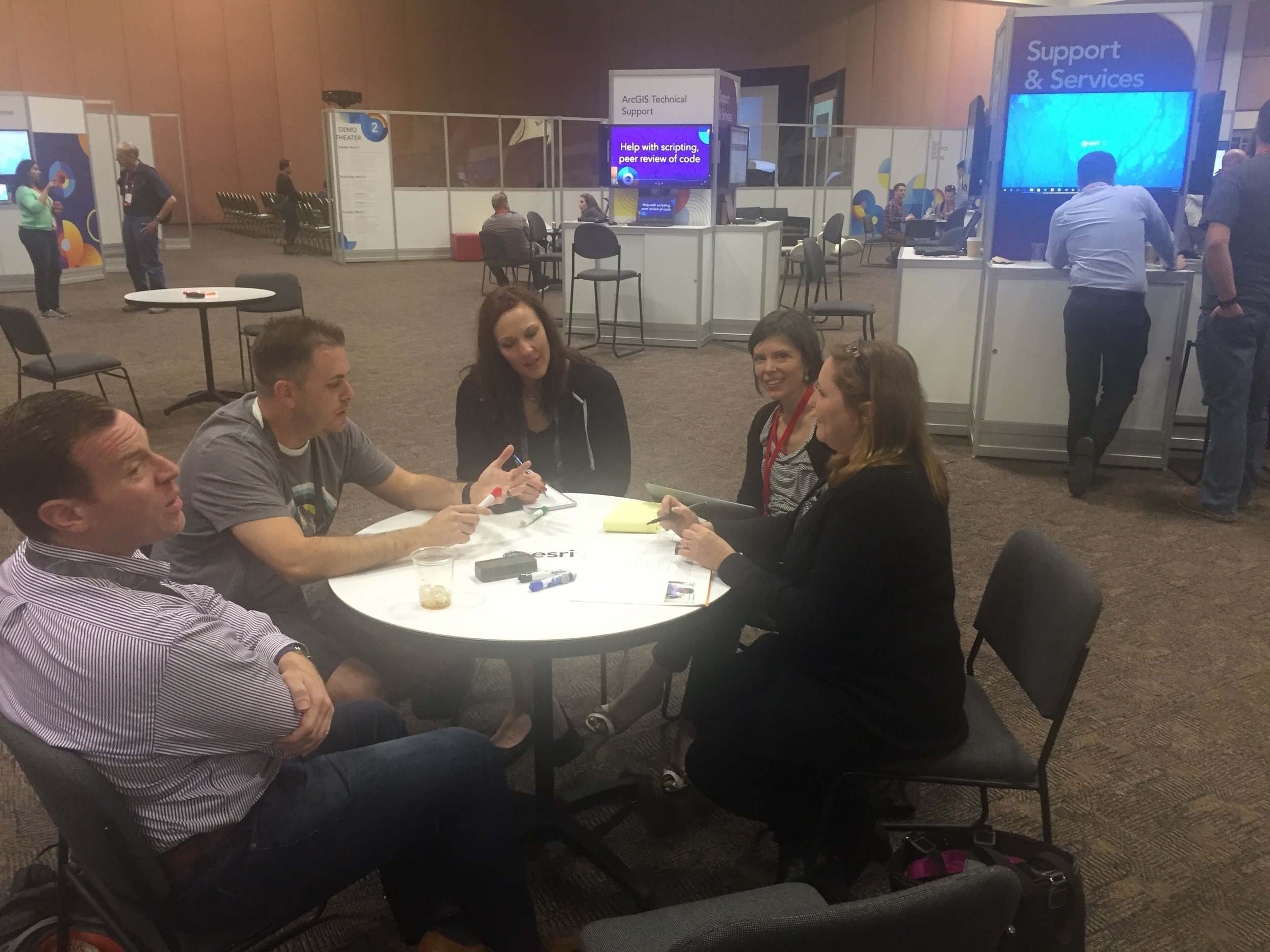
3. Walk the “Pit” – A Lot! The “Pit” is the best part of the DevSummit, but of course, Dodgeball is up there too. J Being able to walk up to the people that build the software that we use day to day is awesome. Being able to dive into the heart of what it is and where it is going is critical to helping your organization and clients’ progress. Now, don’t perceive the title of this blog as a hit against the sessions you can sit and watch. Those sessions are great and provide huge benefits; however, the ability to have a 15-minute conversation with a product engineer or a developer about a specific topic gives you more bang for the buck in my opinion. I sat through at least three sessions per day on various topics but had over 15 walk-up “deep dives” with the Pit people, and it was the best thing I could have done. The privilege of attending this conference plays a huge part in my strategy for the upcoming year with GIS as a whole, and provides a benchmark as to how to guide and advise my clients. Being able to come home with so many new ideas and talking points you only get when walking the “Pit” is unquantifiable.
As mentioned before, I could talk all day about the excitement I have for the future of GIS and what 2017 will bring to the industry. Game-changing processes and ideas for all levels of an organization…wow…let’s do this!

About the author: Nate Reck is the Director of Government Solutions for GeoDecisions. Nate has been providing leading edge GIS consultation for 16+ years at all levels of government throughout the US and Abu Dhabi.


